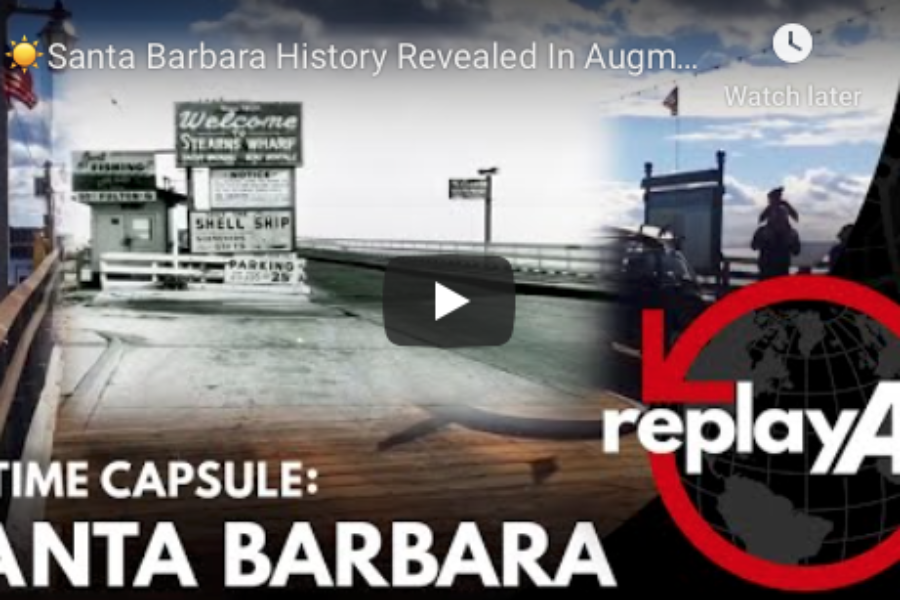
Santa Barbara of yesterday is uniquely revealed in this video created by using an augmented reality app to overlay historical photographs on present-day locations in Santa Barbara, California where they were taken. The app was created by Jay Kristopher Huddy using Neal Graffy’s book Santa Barbara Then and Now and shot on an iPhone.
VIDEO TIMELINE: 00:02 – Foot of Stearns Wharf at the end of State Street and Cabrillo (AR Photo Source: Santa Barbara Historical Museum, Walter A. Tompkins Collection / Late 1880s)
00:10 – Stearns Wharf (AR Photo Source: Unknown / Apx. 1945)
00:15 – Sambo’s Restaurant (AR Photo Source: Chad Stevens / 1957)
00:24 – Elmer’s Metropolitan Restaurant, 1025 Chapala Street (AR Photo Source: Postcard / 1946)
00:31 – Hunt’s China Shop, 12 East Carrillo Street (AR Photo Source: Postcard / 1949)
00:38 – The Granada Theatre being repaired after earthquake damage (AR Photo Source: Unknown / 1953)
00:44 – Earthquake damage at the San Marcos Building on the corner of State and Anapamu (AR Photo Source: Edwin Rick / June 29, 1925)
00:49 – “El Nido” (The Nest) at Garden and Pedregosa (AR Photo Source: The Benham Company / 1912)
00:54 – Mission Santa Barbara after sustaining earthquake damage (AR Photo Source: Dwight Faulding / June 29, 1925)
00:59 – Stearns Wharf (AR Photo Source: Alfred Moore Stringfield / 1880)
01:06 – Lumber shipment at Stearns Wharf (AR Photo Source: Santa Barbara Historical Museum / 1888)
Click on the following link to see how you can create your own augmented reality video. ReplayAR’s Social Augmented Reality App Is Your Personal Time Machine
State Street in Santa Barbara, California (Video)


